Every feature is accessible offline. Protocols, maps, alerts, and your personal library — all stored locally on your device.
Every feature is designed for austere conditions — stores data locally, never needs a server.
Interactive step-by-step guides across 22 domains — water, fire, medicine, shelter, disaster response, and more. Steps include countdown timers, caution callouts, and material checklists.
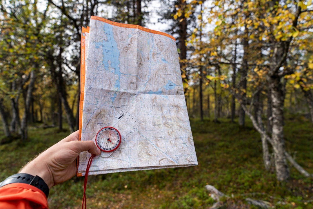
Download full-coverage maps for 16 regions worldwide — no signal required. Place Danger, Safe Zone, and Resource markers stored locally with coordinates and directions.
Aggregates USGS earthquakes, GDACS global disasters, and ReliefWeb humanitarian events into a single feed — automatically filtered to within 500 km of your location.
Track completion across every protocol step-by-step. Bookmark guides for instant access, review recent activity, and export a full progress report or JSON backup at any time.
Author your own survival categories and guides — add steps, materials, tips, and attach photos or video. Stays entirely on your device. Share via QR code with no account required.
One-tap GPS location share to a trusted personal contact via WhatsApp. Three-tier location fallback: high-accuracy GPS → IP geolocation → manual. For personal contacts only.
From critical water purification to community governance — every domain organized for the field.